Measured survey
Our team supports projects of all scales with measured surveys of all types of measured survey, including digital twins, boundary disputes, utility mapping and BIM.
Mapping
We use the latest geospatial software to produce bespoke plans and maps to support in selling, leasing and managing property.
Digital Twins
Digital twins use the latest 3D mapping technology to create a model of a physical asset, from a single floor in an office to multiple properties in a portfolio or a rural estate.
Digital property management
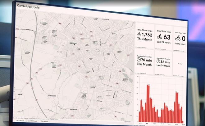
Through the collection and storage of the information required to manage a modern property portfolio, our dashboards allow you to make informed decisions.
Site finding
Our site-finding app identifies locations that match the requirements of your project and the criteria for your property search - whether that's national or local.
Farm and Estate Management Terrier
A bespoke Farm & Estate Management Terrier would allow you to combine all the data held in spreadsheets into a single visual database.
Our Key Clients

Mapping for infrastructure
Our land referencers work on some of the UKs largest and significant projects for a wide variety of public and private sector clients.
Latest news
- Carter Jonas Enhances Nottingham Presence Appointing New Partner Andrew Prowse
- Carter Jonas Gives Its Top 10 Predictions for How the 2020 Budget Will Impact the Energy Sector
- Landowners Urged to Explore EV Opportunities Following Government Announcement
- Coal Authority Completes Four Year Solar Photovoltaics Initiative
- Battery Energy Storage
- Carter Jonas Enhances North West Presence With New Office And Hires
- Carter Jonas Expands Infrastructure & Energy Team With Four New Hires
- Buckinghamshire Battery Development Site Launched to the Market
- Carter Jonas Boosts Leeds Infrastructure & Energy Team With New Appointment


